 We’ve had a lot of holidays recently due to the World Cup. Many Brazilian institutions have realized their employees are going to be watching the game regardless so they might as well get a holiday and do it watch at home.
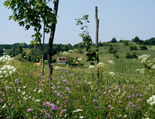
My husband and I used one of these holidays to visit the Parque Nacional do Caparão. The park sits right on the border of Espirito Santo and Minas Gerais. If you think Brazil is nothing but beaches, then visit Caparão. The lush forests, mountains and numerous waterfalls are evidence of how diverse the Brazilian landscape truly is.
Now, I’m all for appreciating a nice waterfall, but I don’t jump at every opportunity to spend four hours hiking up a mountain. I don’t remember ever saying “Oh yes sweetheart, I’d love to hike up Brazil’s third highest peak with you,” and yet that’s exactly what I wound doing at 8am last Tuesday. My husband and I hiked 3.5km to Pico da Bandeira, the third highest peak in Brazil at 9,482ft.
The peak can be reached from either the Espirito Santo or Minas side of the park. We took the ES trail and while it is shorter it is also more difficult with a very sheer drop off right before the peak. In fact, the trail gets so steep and the drop is so far, I did not feel comfortable coming over the summit in my old tennis shoes. If one foot lost its grip, it would be a long way down. I was also very cold at that point. My executive decision was to turn back, get out of the wind, eat lunch, and get back down injury free.
Not only did we avoid injury, but we also got some incredible views, great photos and a chance to have an entire mountain range to ourselves. We didn’t see a single person the whole day.


Hi,
I live in Vitoria and really want to hike Pico da Bandeira soon but I’m struggling to find information on where to go to begin the hike. What road did you take to get to the ES side of the trail? Do you recommend hiking from the Minas side for a better/ safter hike? Your help would be greatly appreciated!
Hi Martin
Most people recommend going up the Minas side. It is a longer hike but there’s more infrastructure and more traffic if you’re concern is safety. When we went up the Espirito Santo side it was deserted. Any kind of leg injury would have been a problem. There was not a single other person to help. Of course if you want to feel like you’ve got the mountain to yourself, the ES side is the way to go.
Also, I hear the Minas side is not as steep right at the end. I’ve not hiked the Minas side but I can say the ES side is steep and there are no ropes or rails or anything in the event you slip. I’ve done a little bit of hiking but with the gusting wind, I refused to hike the last 100ft up. I kept seeing myself being blown off the mountain.
I can’t remember the name of the road to the ES side. We started our trip from Cachoeiro de Itapemirim. I’ll do some research and get back to you.
Btw, you’re not the Martin that teaches small children in a bilingual program at a private school in Vitoria are you?